top of page
Sydney Park_DSC2956.jpg

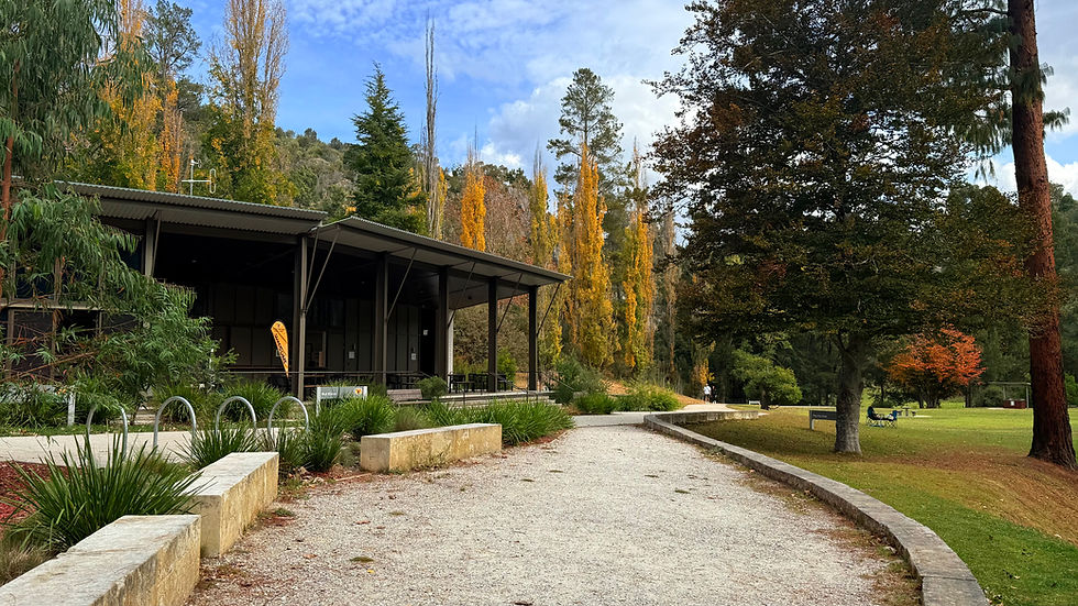
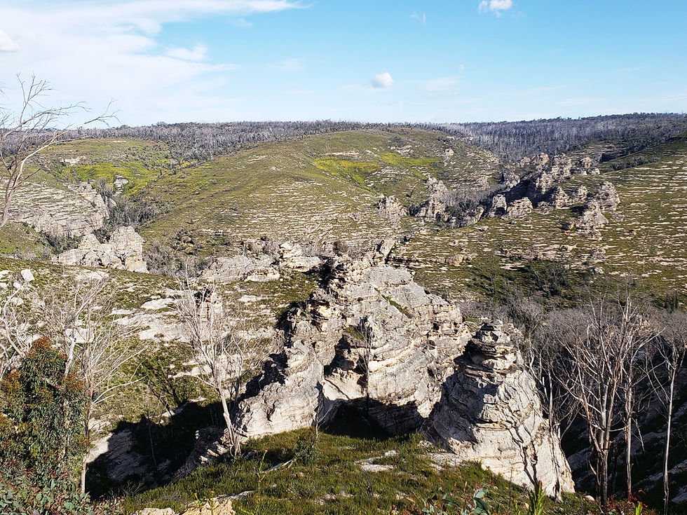
Wombeyan caves

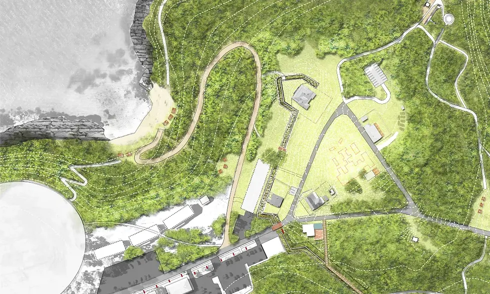
Wombeyan Caves is located within a picturesque valley 190 km south-west of Sydney, 77 km north of Goulburn and 63 km west of Mittagong.

Featured projects

Masterplanning

Long-term spatial frameworks that guide how places grow — balancing landscape, development, movement and community across whole sites and precincts.
Light - Item image 1.jpg

Wombeyan caves

Go
Light - Item image 1.jpg

Gardens of Stone State Conservation Area Master plan

Go
Light - Item image 1.jpg

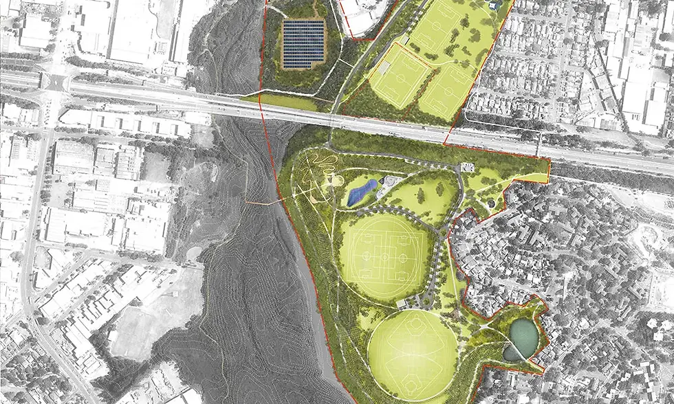
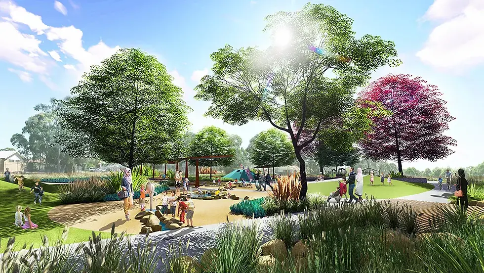
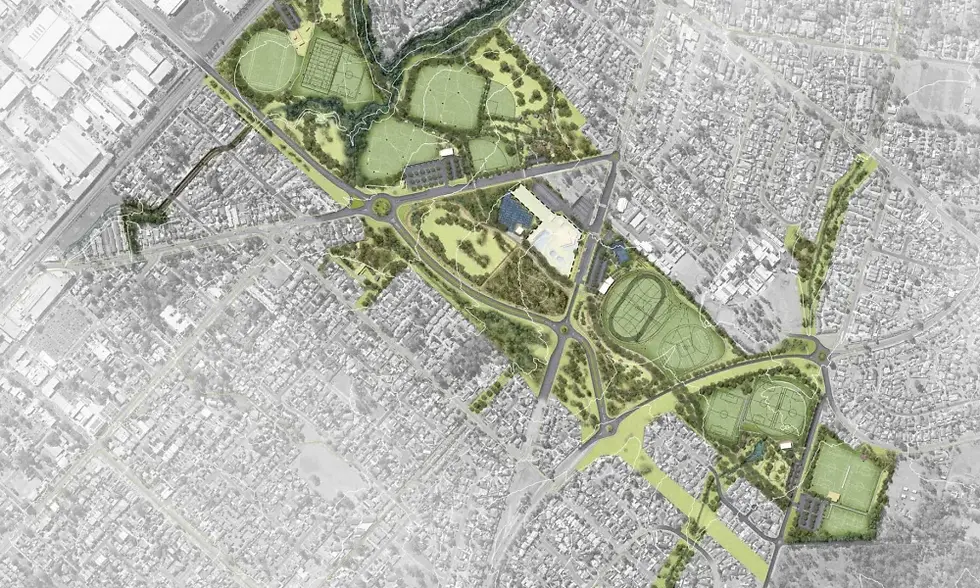
Macquarie Fields Open Space Corridor Masterplan

Go
Light - Item image 1.jpg

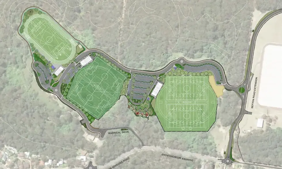
Westleigh Park Masterplan

Go
Light - Item image 1.jpg

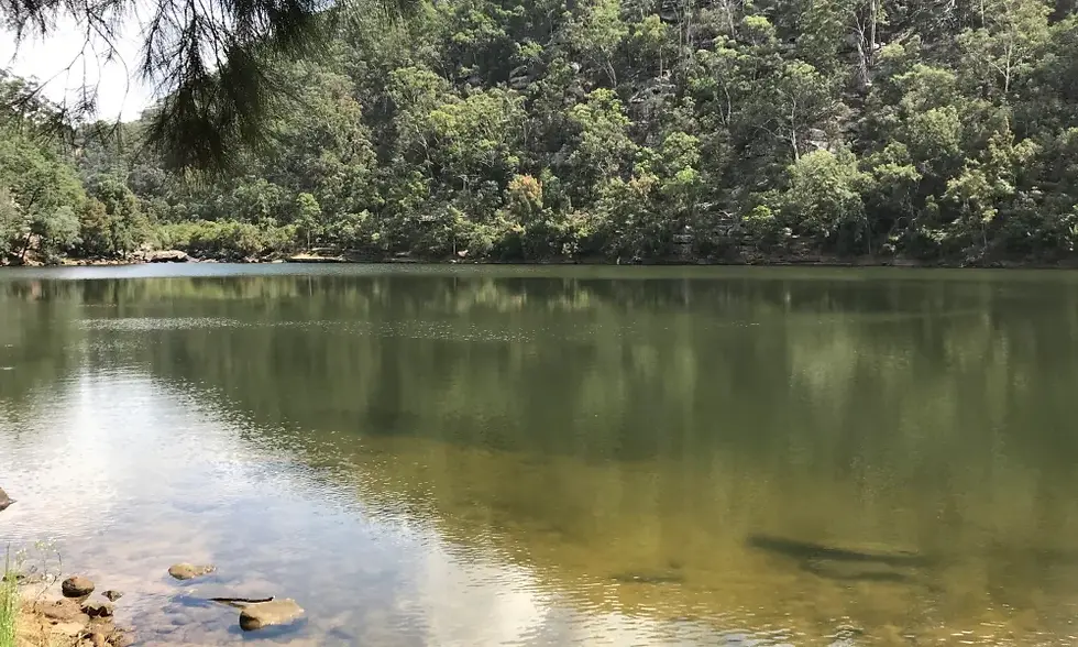
Bents Basin State Conservation Area

Go
Light - Item image 1.jpg

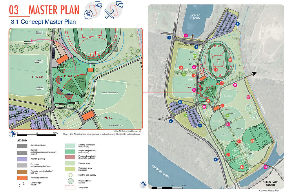
Kelso Park North Masterplan Development

Go
Light - Item image 1.jpg

Salt Pan Creek Masterplan

Go
Light - Item image 1.jpg

Glenfield Public Domain Plan

Go
Light - Item image 1.jpg

Bankstown Complete Streets

Go
Light - Item image 1.jpg

Central Barangaroo Masterplan

Go
Light - Item image 1.jpg

Calderwood Masterplan

Go
Light - Item image 1.jpg

Wianamatta Regional Park Masterplan

Go
Light - Item image 1.jpg

Middle Head and Georges Head Masterplan

Go
Light - Item image 1.jpg

Moira Lake Visitor Precincts

Go
Light - Item image 1.jpg

Lake Ainsworth

Go
Light - Item image 1.jpg

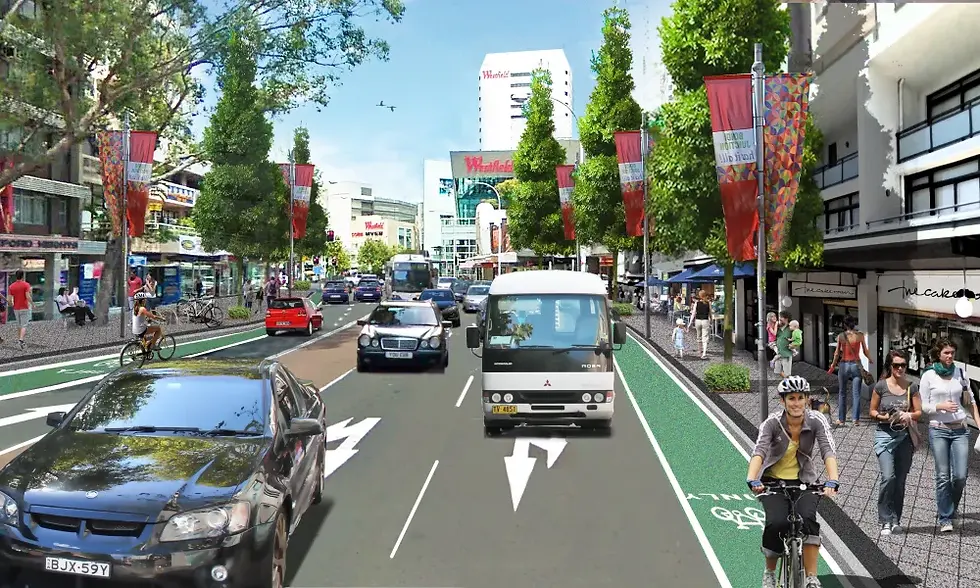
Bondi Junction Complete Streets

Go
Light - Item image 1.jpg

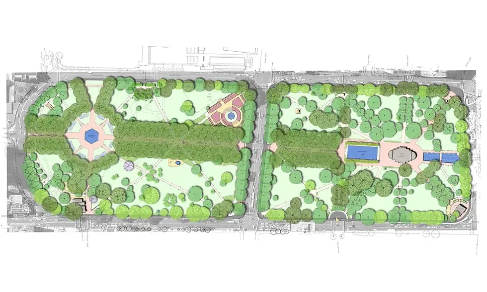
Hyde Park Masterplan

Go
Light - Item image 1.jpg

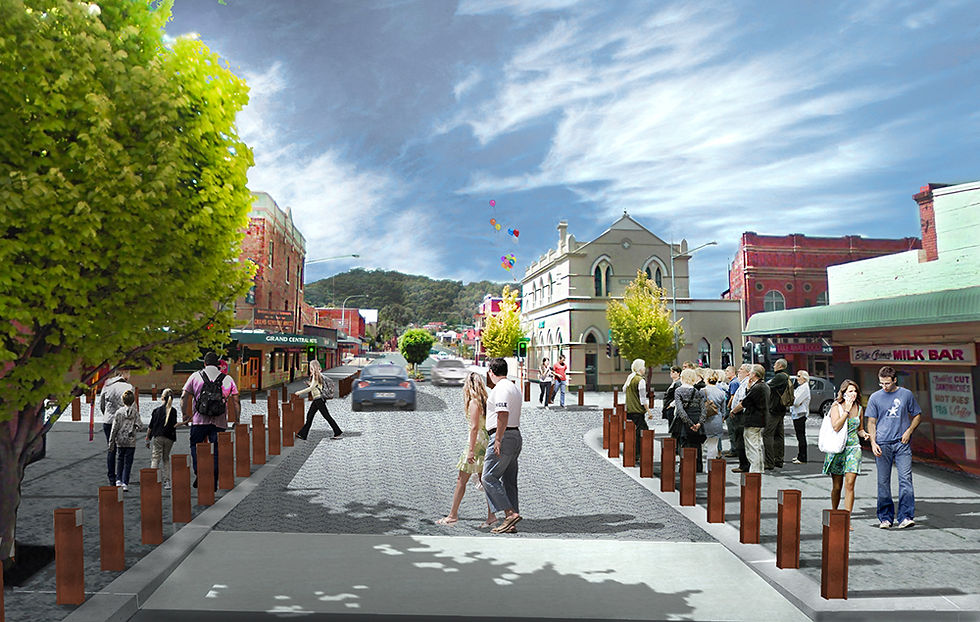
Lithgow Main Street Action Plan

Go
Light - Item image 1.jpg

Observatory Hill Masterplan

Go
Light - Item image 1.jpg

Parry Park Masterplan Development

Go
Light - Item image 1.jpg

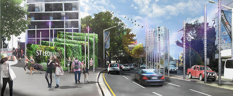
St Leonards Public Domain Masterplan

Go
Light - Item image 1.jpg

Southern Precinct Vision

Go
bottom of page